
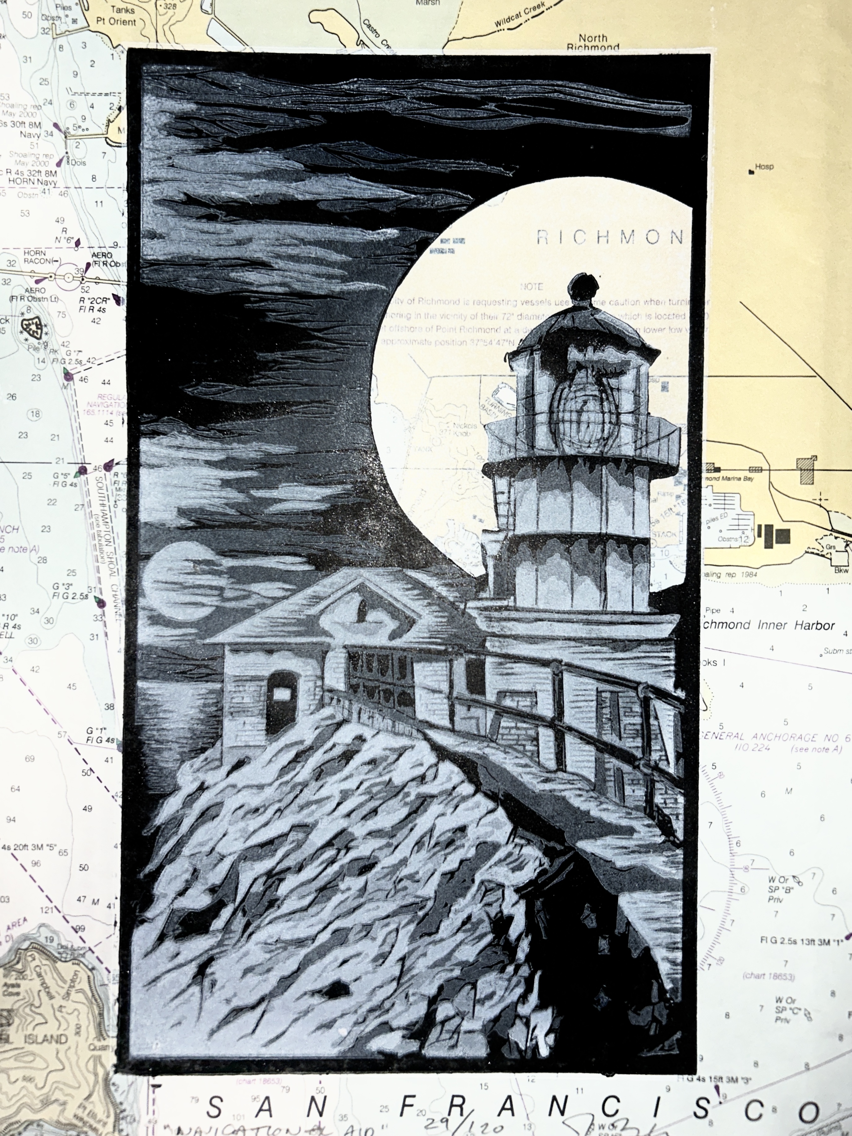
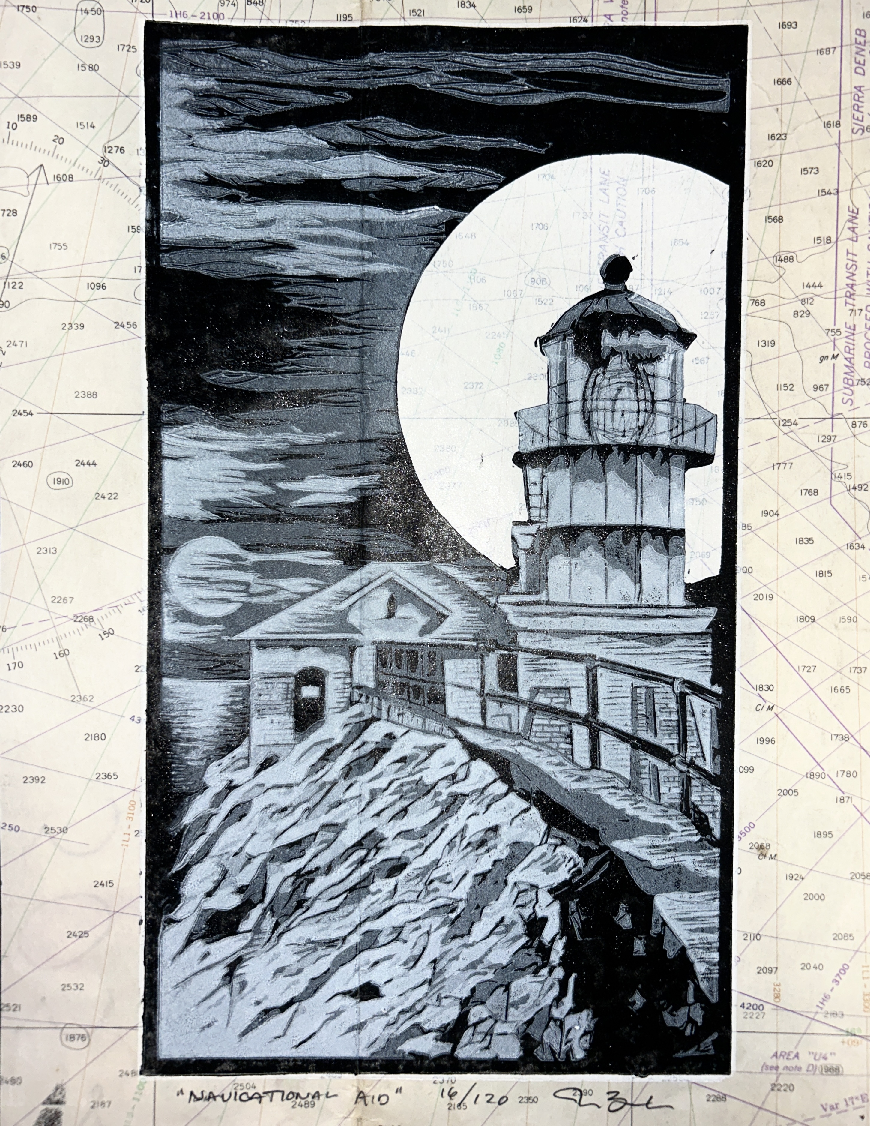

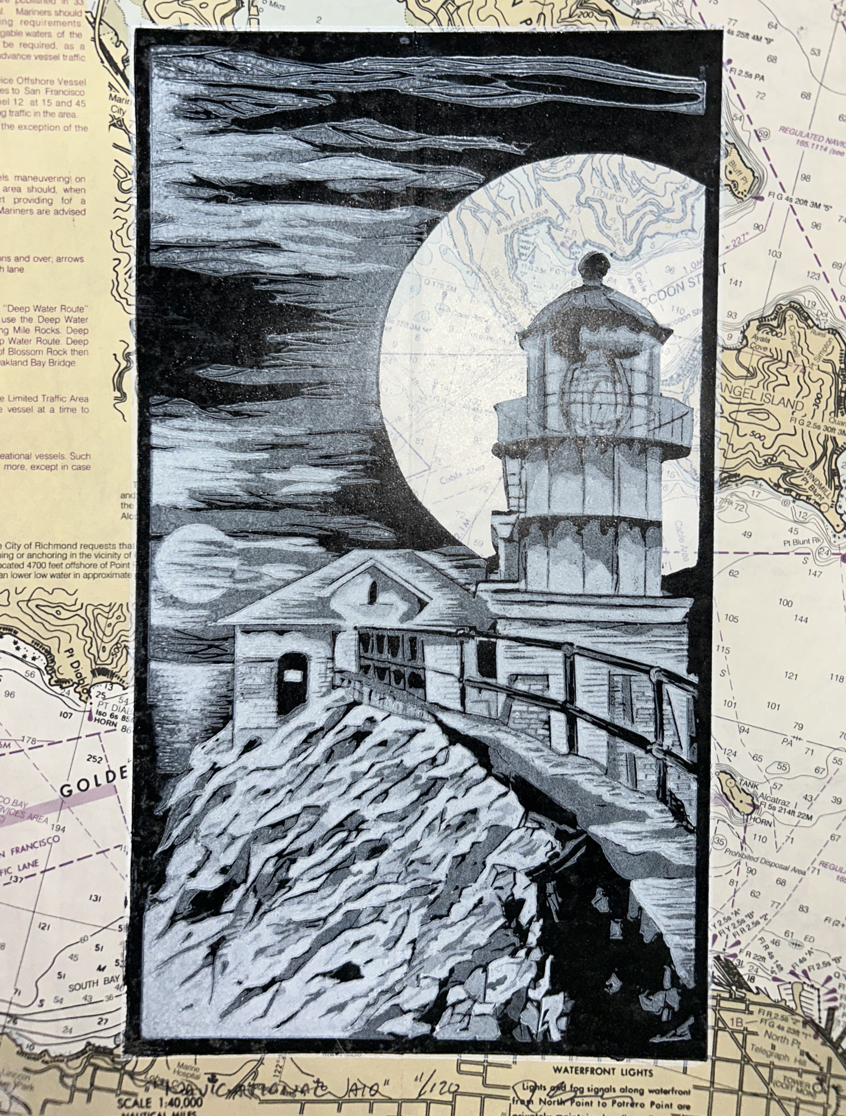
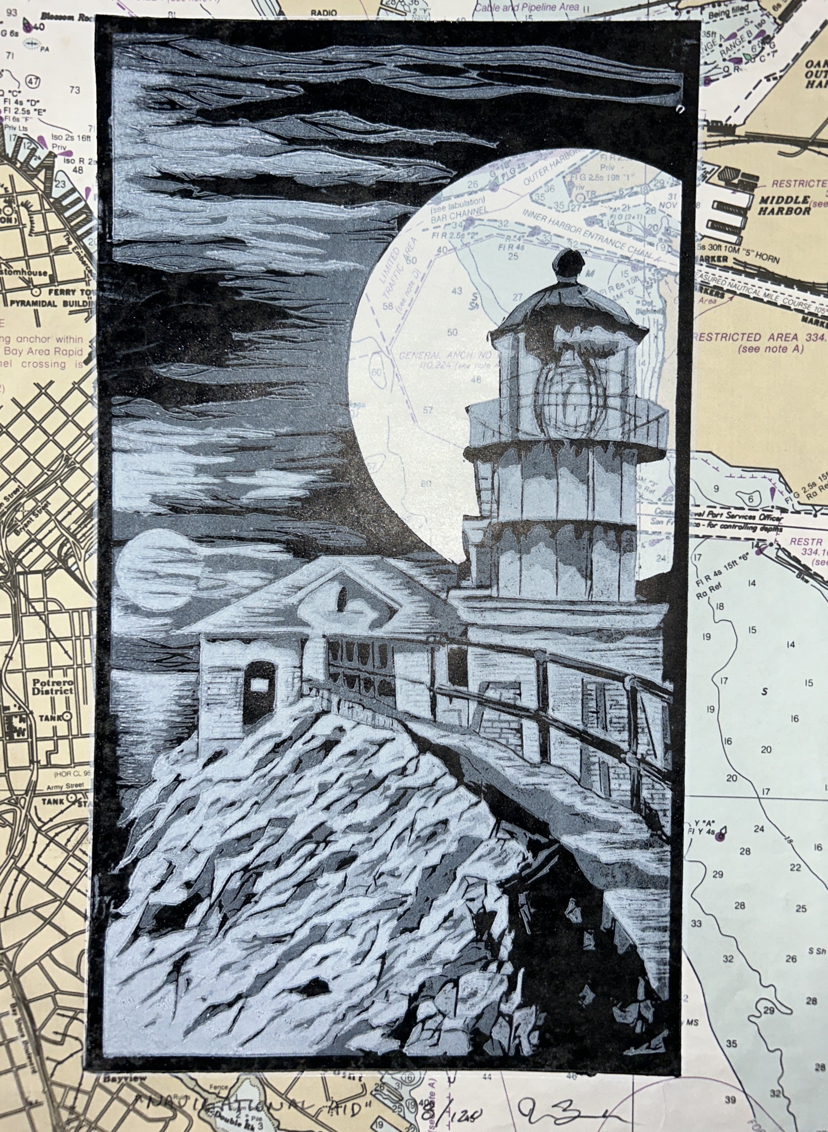
“Navigational Aid” was composed using five plates printed onto navigational charts that had been in use onboard AmNav tug boats. Most of the charts were specifically of San Francisco Bay, and the waterways and tributaries that meet in the bay. They were printed using a homemade printing press.
